 Today Oslandia and partners ( e.g. @opengisch ) publicly launch the "Security Project for QGIS" : a mutualized funding effort to increase QGIS cybersecurity.
Pledge now  and share the info !
 Details here : https://security.qgis.oslandia.com
 New regulations (e.g. CRA, NIS2), threat increase, IT requirement, legacy… Many reasons for #QGIS to improve its security practices.
 We will work on tech & organizational aspects, and collaborate closely with the user and dev community.
 Share the word !
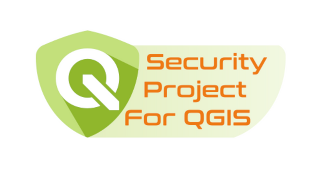
OslandiaSecurity Project for QGisOslandia, with other partners and backed by clients and end-users, launches the “Security project for QGIS” : we will work on key topics where security improvements can be achieved. We now call for QGIS users to contribute to this funding effort !

 Oslandia is a French SME specializing in OpenSource Geographical Systems (
  We are an opensource editor of
  Our team of ~30 (great) people is distributed all over France & full remote is at the heart of our organization.
 More info :
  We will post company updates and GIS-related infos